Decisions at breakfast
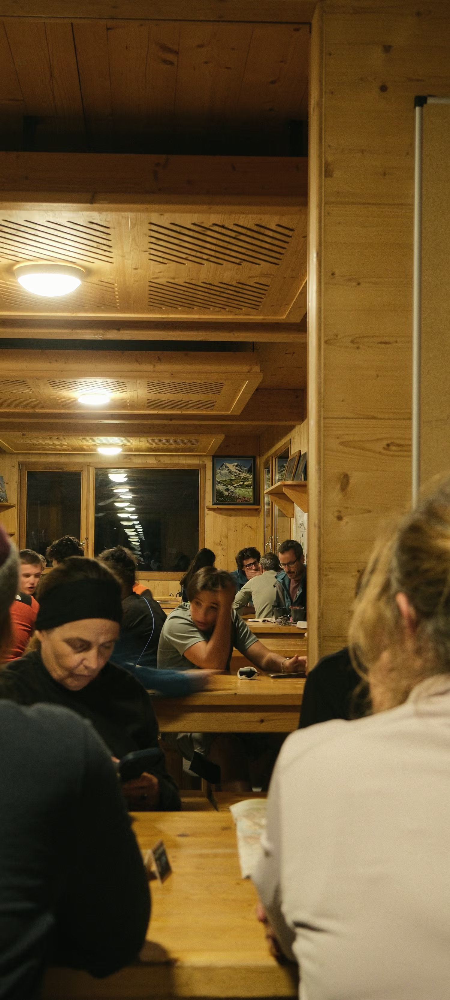
I learned to decide early in my years with the mountain rescue service. I make the choice for the day at breakfast, in a warm hut, with the forecast in front of me.
The rule
Every route has a bad-weather line. Your guide decides on the morning, and the price stays the same.
The bad-weather line stays below the high ground of the main route, and we plan it before the season starts.
What I look at in the morning
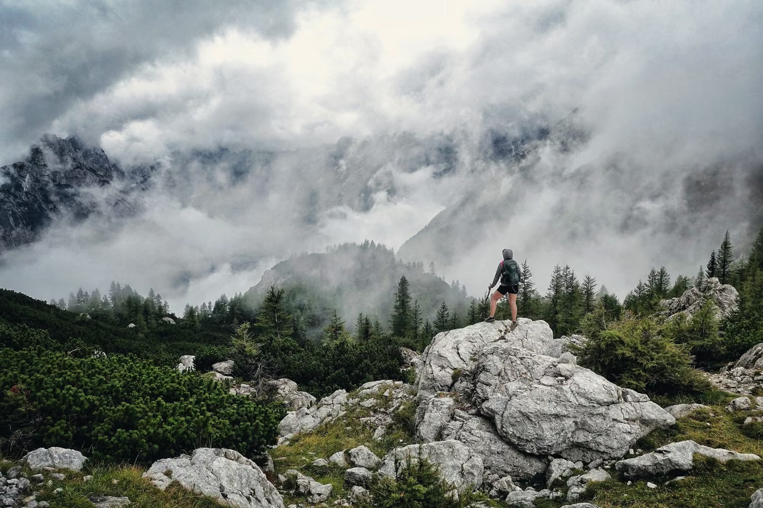
Before breakfast I check the forecast for the valley and for the tops, then I go outside. I look at the cloud on the high ground, at the wind, and at whether the rock is still wet from the night. I also look at the group: how everyone walked the day before, and how they are eating now.
That work starts on the first morning, when we meet at 9am in the start village. The first day shows me how each walker handles a climb and a descent.
If any of that worries me on a day with a high pass or a ridge, we take the lower line. I tell the group before we leave the hut and explain what I saw.
Where the choice comes up
On my own route, the Julian Lakes Crossing, it comes up on day 3, over Sedlo Kal at 2,445 m. That day is 10.1 km, with 1,037 m up and 1,470 m down in all. It ends at Planina Lom, a pasture hut at 1,341 m. On wet limestone a descent that long is slow, and the group reaches the hut late.
- Day 03 · 10.1 km · 1,037 m up · 1,470 m down · Planina Lom, 1,341 m
In the Dolomites it comes up on day 6 of the High Dolomites Hut Route, where fixed cables run along Forcia Ridge. No guide of ours takes a group onto cables with a storm coming, and the lower line there has no cables.
On the Julian Alps Traverse the question comes on the last day, over Škrbina at 2,678 m. After the ridge there are 1,807 m of descent to Kot. Ruth Calder leads that route, and the same morning check decides it there.
What changes for you
You still walk the day with your group and your guide. It ends where the main line would have ended: at the booked hut or, at the end of the route, in the finish village. The views are different, and some walkers are disappointed to miss the pass.
What you can do
Carry your waterproofs and a warm layer every day, whatever the sky looks like at breakfast. Take out insurance with mountain rescue cover as soon as your place is confirmed, because we cannot take you without it.