
High Dolomites Hut Route
Six days of high huts and limestone ridges, with a night at 2,707 m and a cabled ridge at the end.

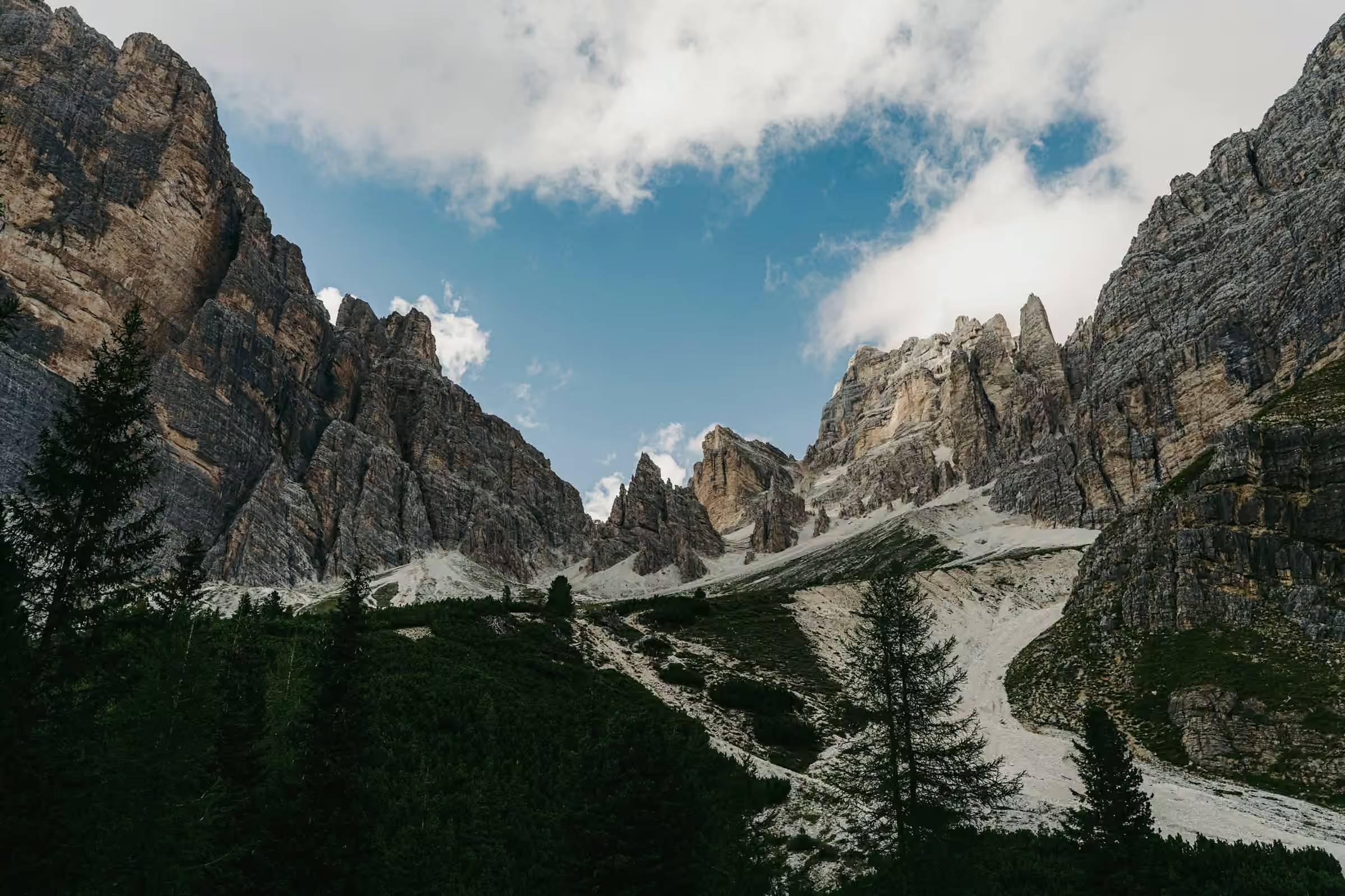
Fixed cables on Forcia Ridge, crossed on day 6 at 3,058 m, make this route grade 4 on our scale. Before them come five nights in high huts. From Val Dores the route climbs over three days to Rifugio Torre Alta at 2,707 m, the season’s highest night. It then drops to Malga Lavarel and climbs again to Rifugio Forcia.
The last day is the longest and descends the most: 15.3 km, 525 m up and 1,543 m down. It crosses the ridge, then drops to Pian de Sass. Day 3 is short but climbs 693 m without a single metre of descent.
Come to it after a grade 3 route in the Alps, and only if narrow, rocky ground leaves you calm. If you have not held a fixed cable before, mention it in your enquiry.


Day by day
Meeting point
We meet in the start village at 9am on the first day and finish around 3pm on the last. Fly into the region’s airport, then take the train and bus; the timetable comes with your route notes.
Every route has a bad-weather line. Your guide decides on the morning, and the price stays the same.
If the rock is wet or storms are building, Matteo leaves Forcia Ridge and its cables out. The group descends from Rifugio Forcia to Pian de Sass on a lower path below the ridge.
Day 01
Val Dores up to Pra Fosc
Out of Val Dores, a mule track climbs through spruce and then open pasture to Rifugio Pra Fosc. It gains 395 m and gives back only 69 m, and the hut itself is the highest point of the day. Dinner is barley soup and lamb stew, and tomorrow the path leaves the trees for the high pastures.

Day 02
Across the high pastures

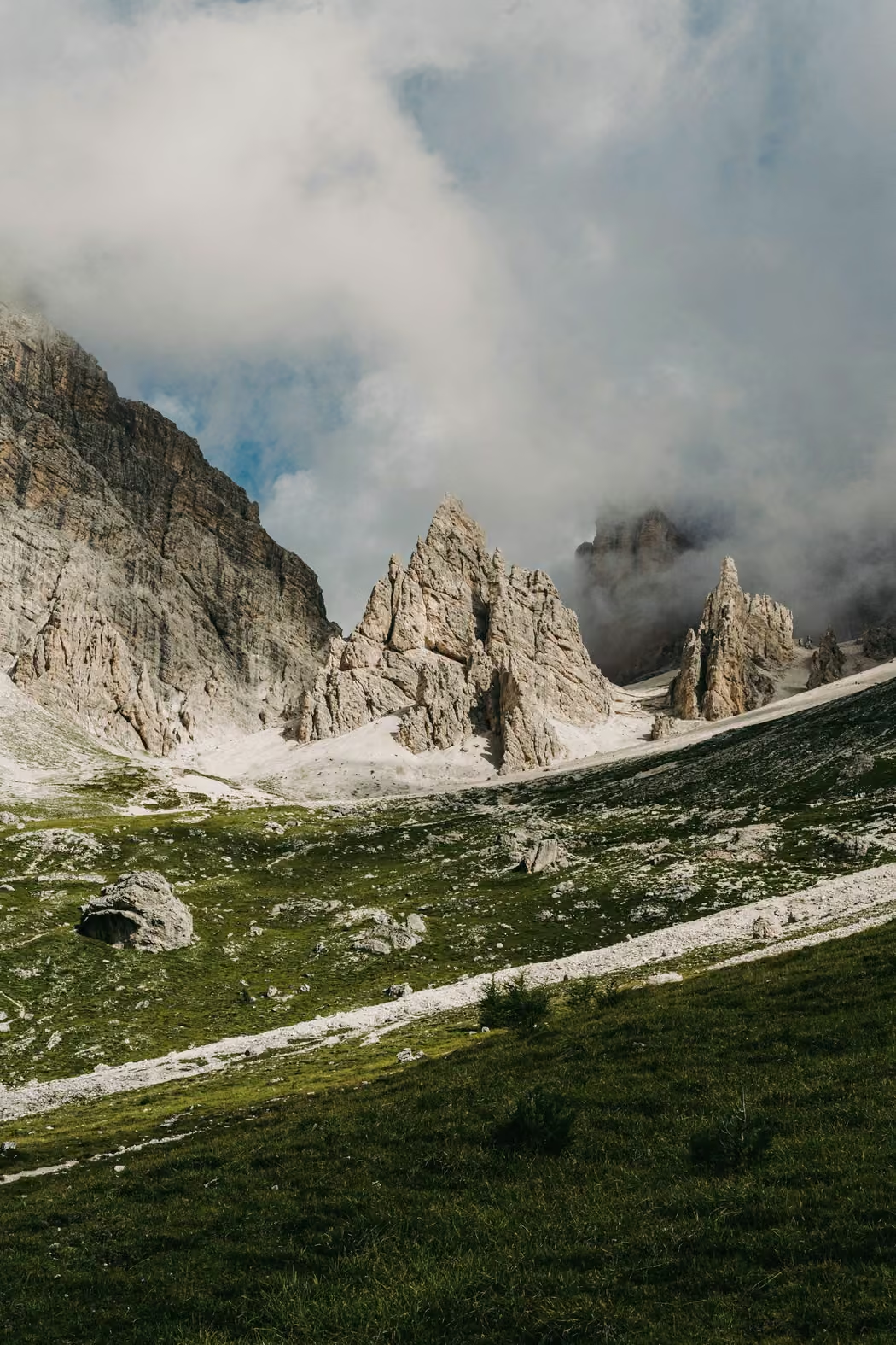
At 13.2 km this is the longest of the first three days. Storms build early over the limestone, and Matteo reads the afternoon sky with that in mind. The path crosses the shoulder at 2,443 m, contours over limestone scree and drops 429 m to Rifugio Col de Mez.
Day 03
A short climb to 2,707 m

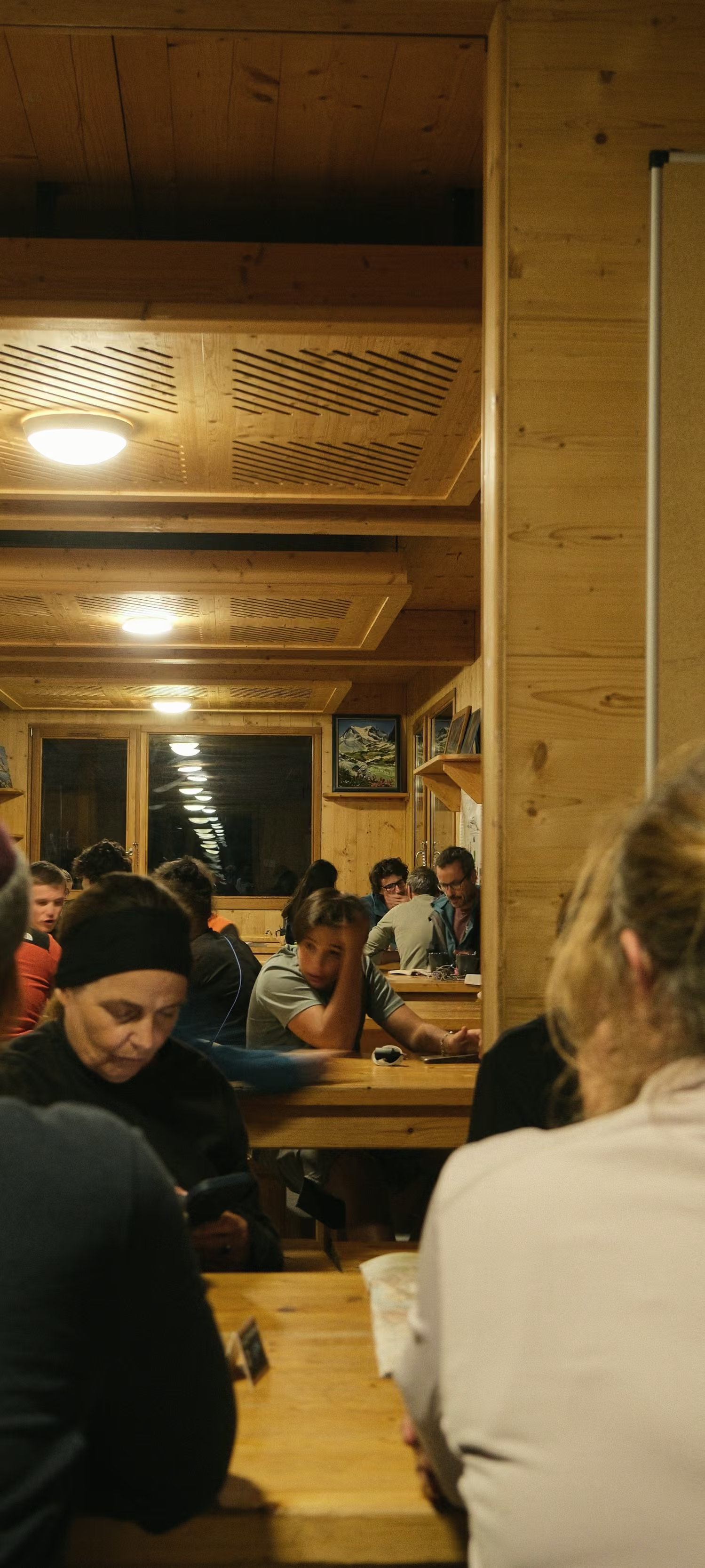
The day covers only 5.4 km, every one of them uphill on rock steps and zigzags, and you arrive by early afternoon. Rifugio Torre Alta serves dinner to the whole hut together at shared tables, pasta first and a stew after. At 2,707 m the hut’s water is collected rain and snowmelt, so it is sold bottled and you are asked to wash sparingly. Headaches and poor sleep are the usual signs of altitude, and Matteo asks everyone about both.
Day 04

Up to 3,033 m, then down
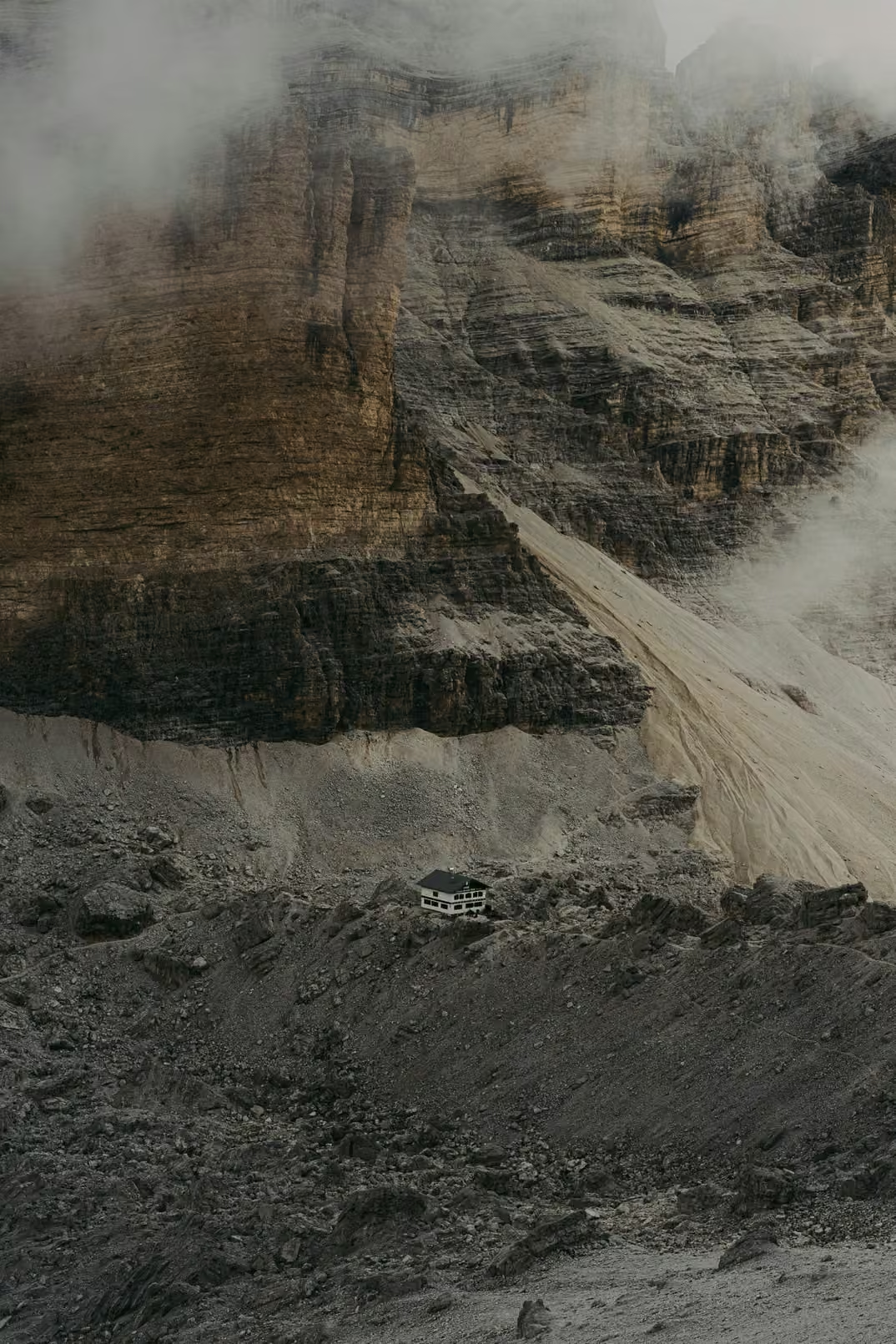
Bring your poles for this one. The morning climbs 326 m from the hut to 3,033 m, the highest ground before the ridge. Then come 1,228 m of descent on scree and grass, a long day for the knees. On the scree a slip sends stones onto anyone below, so walkers keep close together there. Malga Lavarel, a pasture hut, cooks casunziei, beetroot pasta parcels with butter and poppy seed. Its tap is safe to drink.

Day 05
To the foot of Forcia Ridge
Another day without descent: 728 m of climbing to Rifugio Forcia, which sits right under the ridge you cross tomorrow. Minestrone, then roast pork with potatoes, fills the evening. After dinner Matteo goes through the cable section on the map, one pitch at a time, and makes the final call on the morning forecast.
Day 06

Forcia Ridge and the long descent
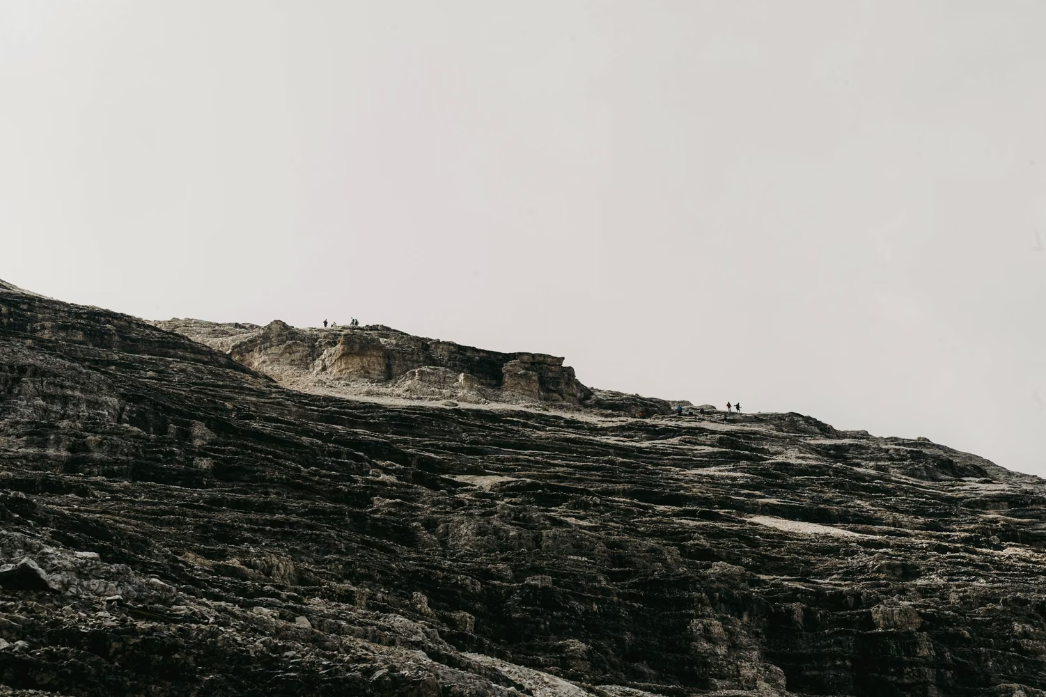
The high point of the route, 3,058 m, is on the exposed part of Forcia Ridge, where fixed cables run along the rock. Matteo leads it in one close line and stops the group before every cabled pitch. Keep something in your legs for the 1,543 m of descent that follows. Pian de Sass comes around 3pm, with the transfer back to Val Dores.
Departures 2027
Full dates keep a waiting list.
Places as of 1 October 2026
What is included
Guide, half board in huts, all bookings, route notes, return transfer.
- A guide for the whole route
- Every night in huts and guesthouses, with dinner and breakfast (half board)
- Booking of every night
- Printed route notes with the elevation profile
- Last-day transfer back to the start village
Not included
- Travel to the start village
- Lunches on the path and drinks
- A hut sleeping sheet, which you bring
- Insurance with mountain rescue cover, which is required
Your guide
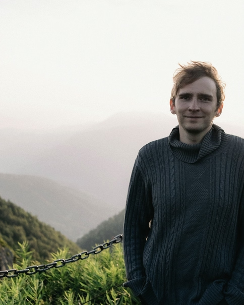
Matteo Dallago
IFMGA mountain guide
He grew up in the hut his parents kept.
Groups of 4 to 10, with a second guide from seven walkers.
The five other routes, drawn to one scale
Each line runs as far as its route and as high as its ground, on one scale for all six.