
Julian Lakes Crossing
Four days of steep climbs to high lakes and limestone saddles in the Julian Alps.

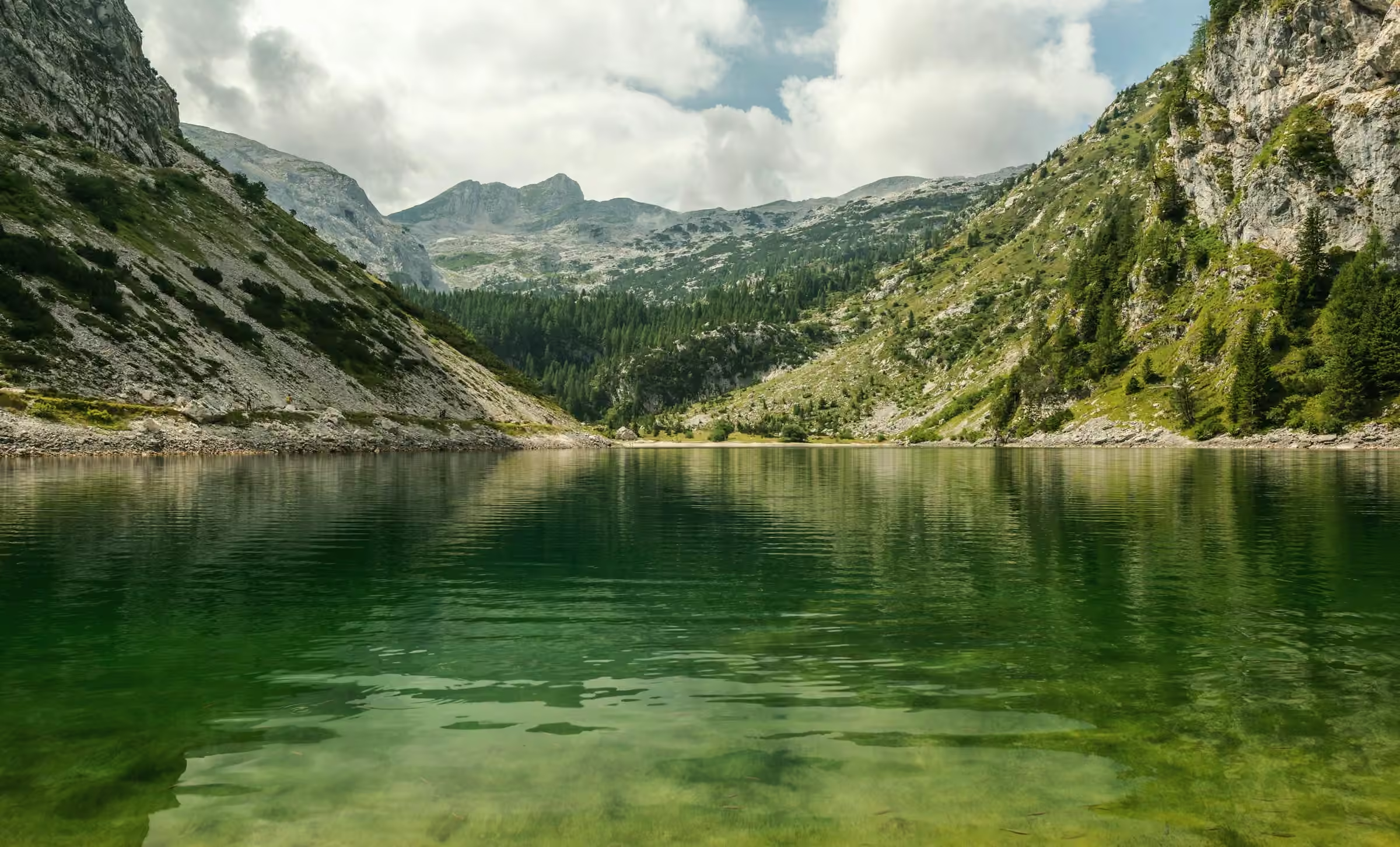
Three days in a row climb 872 m, 995 m and 1,037 m, and that run makes the Julian Lakes Crossing grade 4 of 5. It starts in Log pod Vrhom at 735 m and climbs hard from the first morning, though there is no scrambling. Over four days you walk 45.0 km and gain 3,685 m.
Day 3 has the most ascent and the most descent of the route: 1,037 m up and 1,470 m down over 10.1 km. It crosses Sedlo Kal at 2,445 m on the way to Planina Lom. Day 4 is the longest at 16.7 km, mainly downhill to Zadnja vas.
You sleep in a hut by a waterfall, a hut on the lakeshore and a pasture hut beyond Sedlo Kal. Before you book, you should be used to long, steep hill days at home.


Day by day
Meeting point
We meet in the start village at 9am on the first day and finish around 3pm on the last. Fly into the region’s airport, then take the train and bus; the timetable comes with your route notes.
Every route has a bad-weather line. Your guide decides on the morning, and the price stays the same.
If storm or low cloud sits on Sedlo Kal, day 3 leaves the saddle out and takes the lower pasture paths round to Planina Lom. Days 1, 2 and 4 do not change, and the night at Koča na Jezerih by the lakes goes ahead as booked.
Day 01
Through the woods to the waterfall

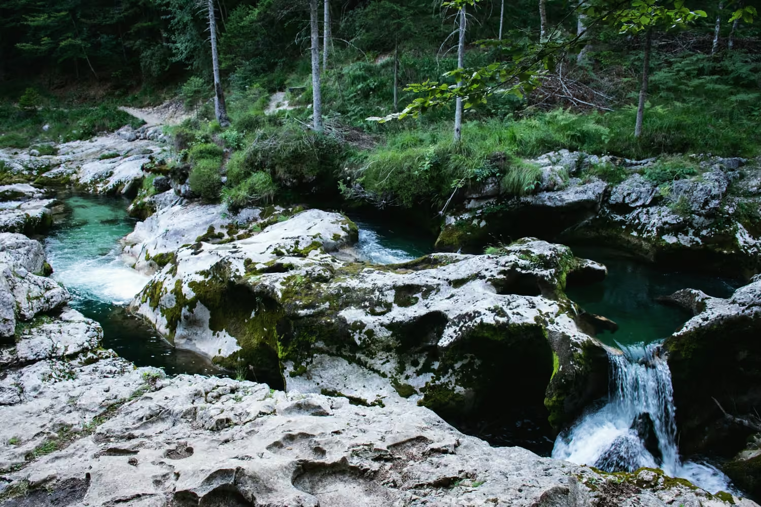
You follow a stream up from Log pod Vrhom all day, to the waterfall that gives Koča pri Slapu its name. We meet in the village at 9am. From there an old mule track climbs through beech woods, steep in places, and gains 872 m with no descent at all. Dinner is jota, a bean and sauerkraut stew, eaten within sound of the falls.
Day 02

Up to the high lakes
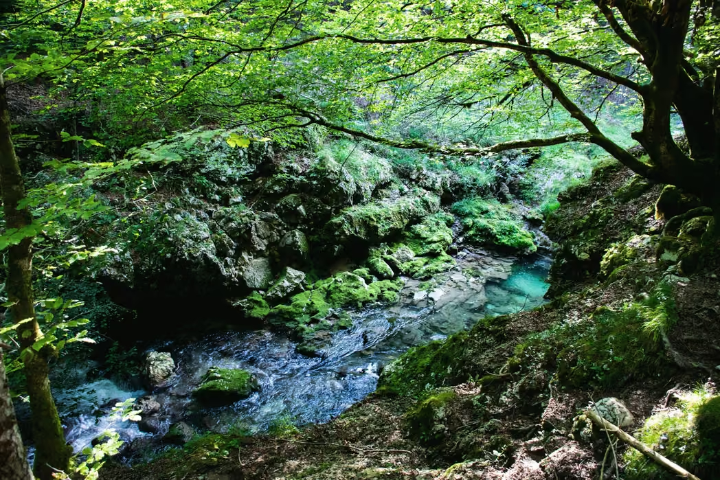
Above the dwarf pine the path comes out on bare limestone, where rain sinks straight into the rock and nothing runs on the surface. Carry 1.5 litres from Koča pri Slapu for that stretch. The zigzags top out on a saddle at 2,084 m, the high point of a day that climbs and drops more than once. The last descent leads into a basin of lakes. The polished rock on the way down turns slick in rain, so keep to the line Žiga takes across it. Tonight’s hut, Koča na Jezerih, stands on the shore.

Day 03
Over Sedlo Kal
Planina Lom, tonight’s stop, is a herders’ hut on the pasture beyond Sedlo Kal, and dinner there is štruklji, rolled dumplings with cottage cheese. Scree and limestone slabs lead to the saddle at 2,445 m, the high point of the trip. Most of the 1,470 m of descent comes below it, steep and loose at the top and hard on the knees.
Day 04
The long way down to Zadnja vas

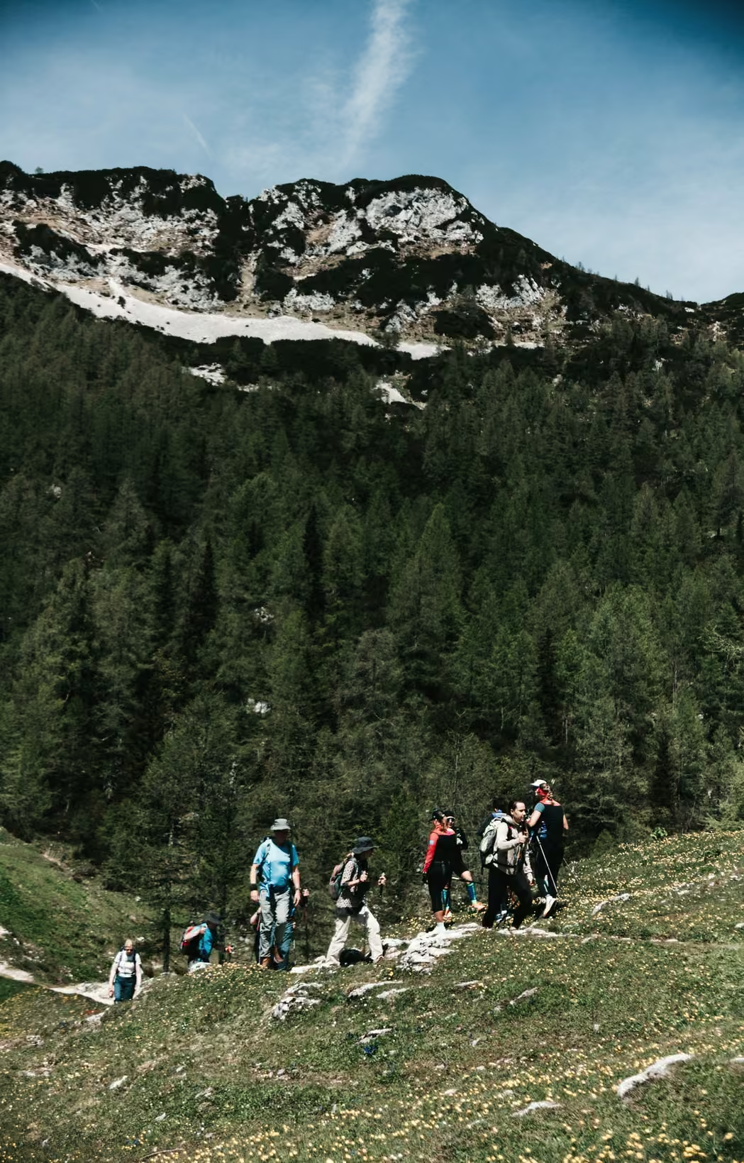
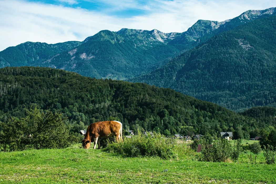
This is the longest day of the four, at 16.7 km. There is still a climb of 781 m in all, over a grassy shoulder at 2,113 m. Then the path drops through larch and beech to the valley. On the last forest track, roots catch at tired feet. Zadnja vas comes around 3pm, with the transfer back to Log pod Vrhom.
Departures 2027
Full dates keep a waiting list.
Places as of 1 October 2026
What is included
Guide, half board in huts, all bookings, route notes, return transfer.
- A guide for the whole route
- Every night in huts and guesthouses, with dinner and breakfast (half board)
- Booking of every night
- Printed route notes with the elevation profile
- Last-day transfer back to the start village
Not included
- Travel to the start village
- Lunches on the path and drinks
- A hut sleeping sheet, which you bring
- Insurance with mountain rescue cover, which is required
Your guide
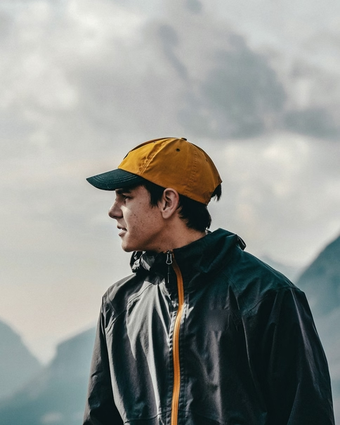
Žiga Kralj
International Mountain Leader
He spent eight winters in the mountain rescue service of his valley.
Groups of 4 to 10, with a second guide from seven walkers.
The five other routes, drawn to one scale
Each line runs as far as its route and as high as its ground, on one scale for all six.