
Julian Alps Traverse
Seven days across the Julian Alps, from the valley to the ridge and back down on five of them.

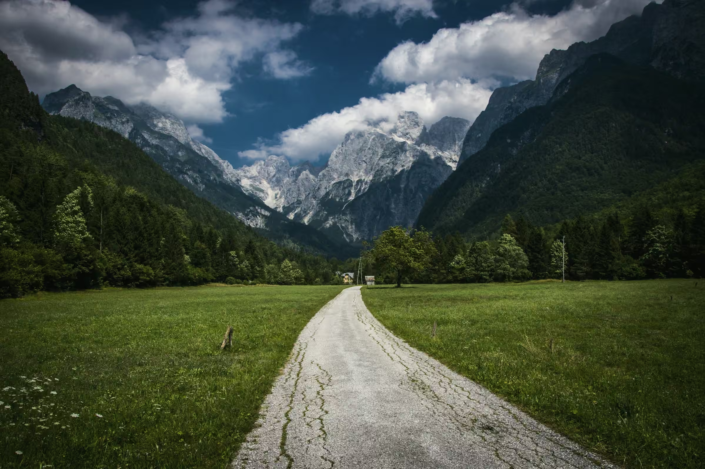
The Julian Alps Traverse runs 86.6 km from Dolinica at 690 m to Kot at 871 m. It climbs 6,397 m and descends 6,216 m in all. Days 2 to 5 follow the same shape: up from a valley to a ridge or saddle, then down again to sleep. Day 7 rises and falls the same way but ends in Kot. Days 1 and 6 climb to the night’s hut with almost no descent. Four nights are in mountain huts, one in a valley inn and one in a village guesthouse.
Seven days make it the longest of our six routes, and it crosses the range from one side to the other. Grade 4 of 5 comes from days 2, 3 and 4 in a row: 933 m, 1,322 m and 1,072 m of ascent. Ruth Calder guides every departure.
Save something for day 7, the longest of the seven at 18.3 km. It climbs 1,069 m to Škrbina at 2,678 m, then descends 1,807 m to Kot, more than any other day. Day 6 sets it up with a short, steep 4.9 km and 787 m of ascent to an early night at Koča pod Skalo.
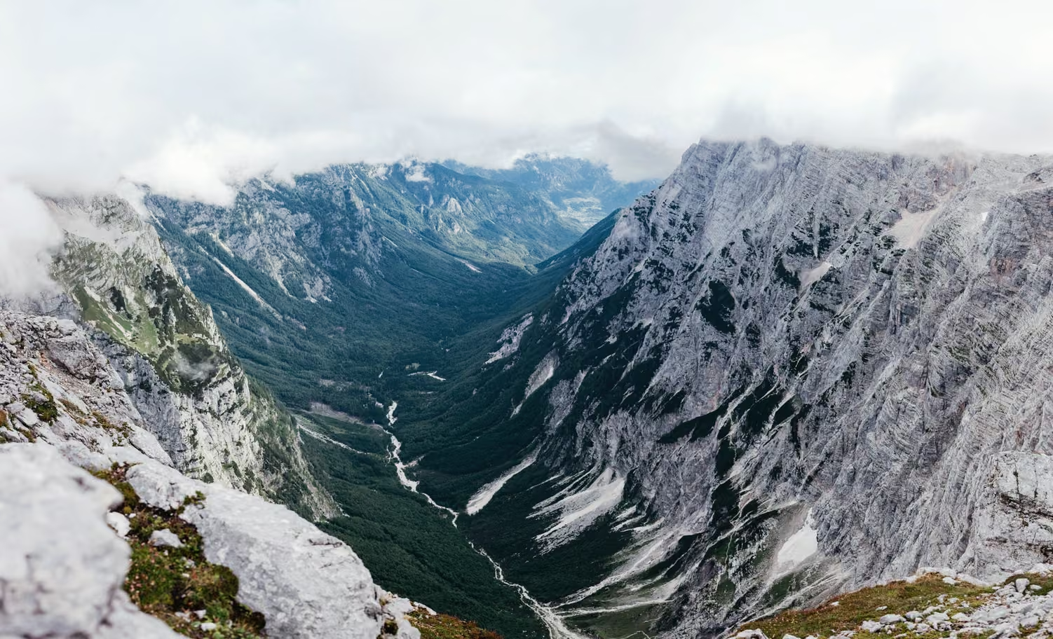

Day by day
Meeting point
We meet in the start village at 9am on the first day and finish around 3pm on the last. Fly into the region’s airport, then take the train and bus; the timetable comes with your route notes.
Every route has a bad-weather line. Your guide decides on the morning, and the price stays the same.
If storm or low cloud sits on Škrbina, day 7 takes a lower crossing round the notch and still finishes in Kot. The ridges of days 2, 3 and 4 each have a lower path of their own, below the open limestone.
Day 01
From Dolinica up to the pastures
The first water after Dolinica is the tap at Planina Vrh, at the end of the day, so leave the village with 1.5 litres each. A cart track gives way to a footpath through meadows and spruce, and the climb stays steady to the summer pasture. The hut keeps cows in summer and serves mushroom soup, polenta and goulash. Before dinner Ruth lifts each rucksack, and anything over the 8 kg we recommend gets a quiet word.

Day 02
Over the first ridge to the river

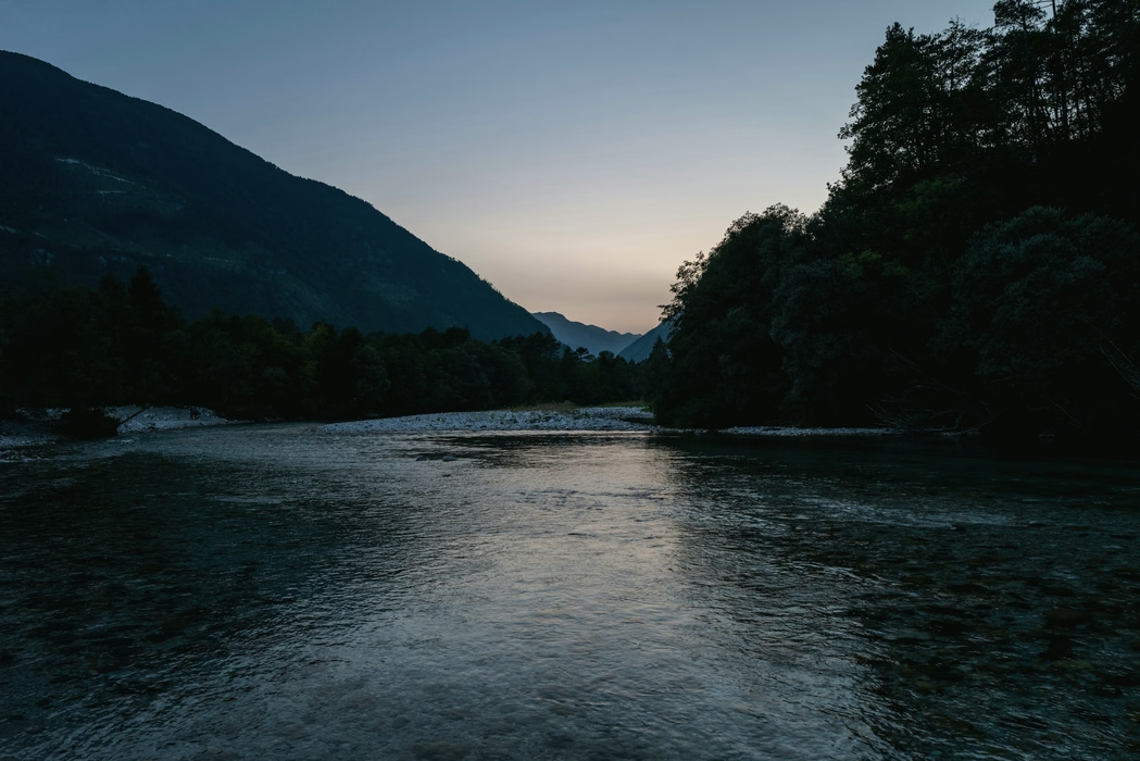
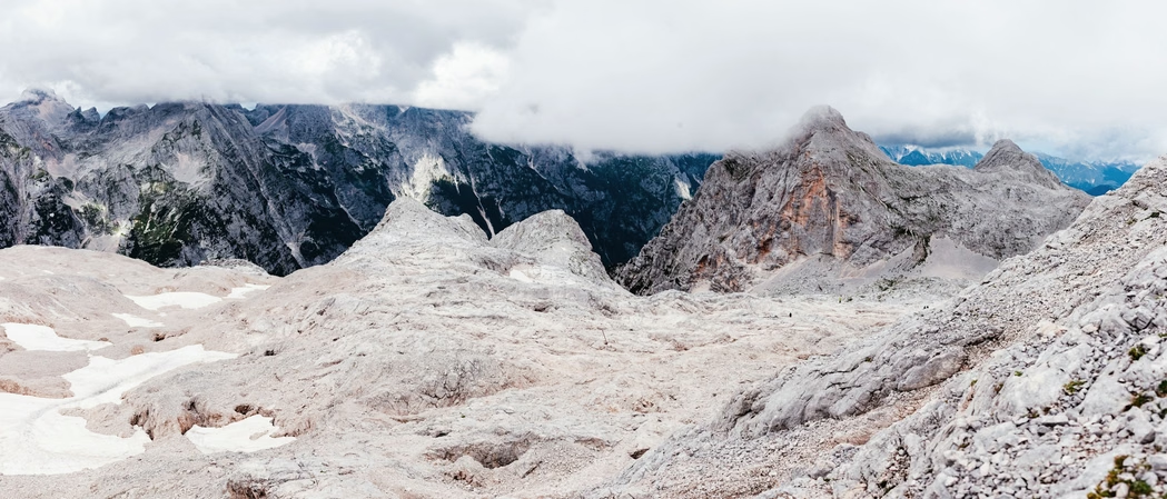
Today sets the pattern for most of the week. You climb 933 m from the pasture to a ridge at 2,132 m, then drop 1,143 m to the river. Above the trees the path crosses karst pavement, and on the way down ankles turn easily in the cracks between its slabs. Gostilna ob Reki, a valley inn with rooms, stands by the river at 989 m.

Day 03
The biggest climb of the week
The climb starts in the woods behind the inn and tops out on a ridge at 2,312 m. With 1,322 m of ascent over the day, no other day climbs as much. It is steady for most of the morning and steep below the ridge. From the top the path drops through scree and then beech woods to Koča v Lazu, which serves jota and apple strudel.
Day 04

Valley hut to high pasture
Legs are tired by now. This is the third big climb in three days: 1,072 m on limestone ledges to a saddle at 2,226 m. From there the path comes down to Planina Klek, a pasture hut. It serves ričet, a barley and bean stew, with bread baked in the valley. From its door there is a long view back over the week so far.
Day 05
Down to the village by the bridge
Penzion Most, a family guesthouse by the bridge, has hot showers and serves soup, roast pork and štruklji. Today climbs less, 699 m all told, and its high point is a grassy ridge at 2,109 m. The 1,287 m down from there through meadows and woods is the second longest descent of the week. The forecast for the last two days comes that evening.

Day 06
Short and steep to Koča pod Skalo

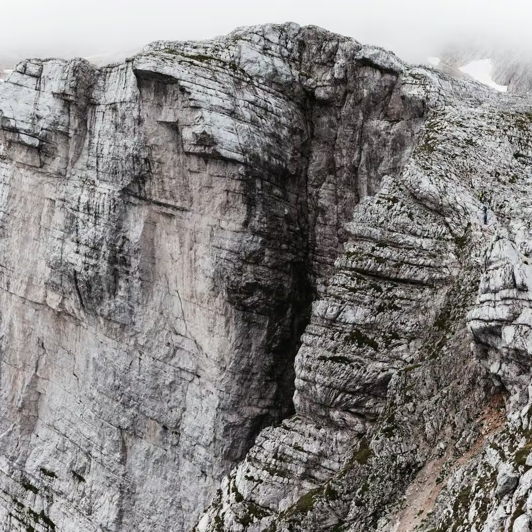
Tomorrow starts before first light, so tonight Ruth checks every pair of boots and every head torch. Today is the shortest day, 787 m of ascent in 4.9 km and all of it uphill. The path zigzags up a wooded slope and then runs under a limestone wall to Koča pod Skalo. You arrive early, with the afternoon to rest.
Day 07
Over Škrbina and the long descent
Škrbina, at 2,678 m the high point of the route, is a narrow notch in the limestone with loose stones on both sides. Reaching it takes 1,069 m of ascent from Koča pod Skalo. Then come 1,807 m of descent to Kot, steep in the upper part and slow going. The day ends in Kot around 3pm, and the transfer takes you back to Dolinica.

Departures 2027
Full dates keep a waiting list.
Places as of 1 October 2026
What is included
Guide, half board in huts, all bookings, route notes, return transfer.
- A guide for the whole route
- Every night in huts and guesthouses, with dinner and breakfast (half board)
- Booking of every night
- Printed route notes with the elevation profile
- Last-day transfer back to the start village
Not included
- Travel to the start village
- Lunches on the path and drinks
- A hut sleeping sheet, which you bring
- Insurance with mountain rescue cover, which is required
Your guide
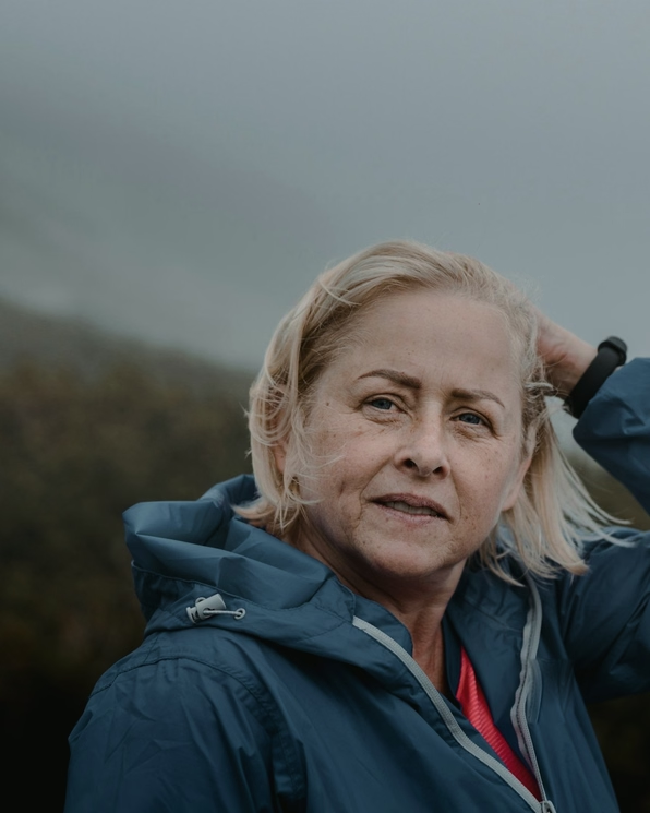
Ruth Calder
International Mountain Leader
She drew the first route notes by hand on her kitchen table in Kendal, and she still writes every set.
Groups of 4 to 10, with a second guide from seven walkers.
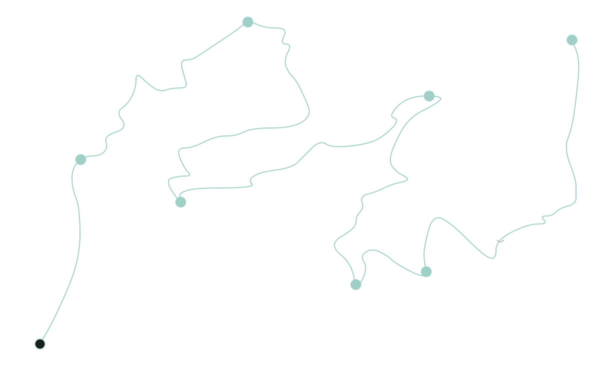
The five other routes, drawn to one scale
Each line runs as far as its route and as high as its ground, on one scale for all six.