
Stubai Ridge Walk
Five days along the ridge between two Tyrolean valleys, sleeping in alpine huts and one valley inn.

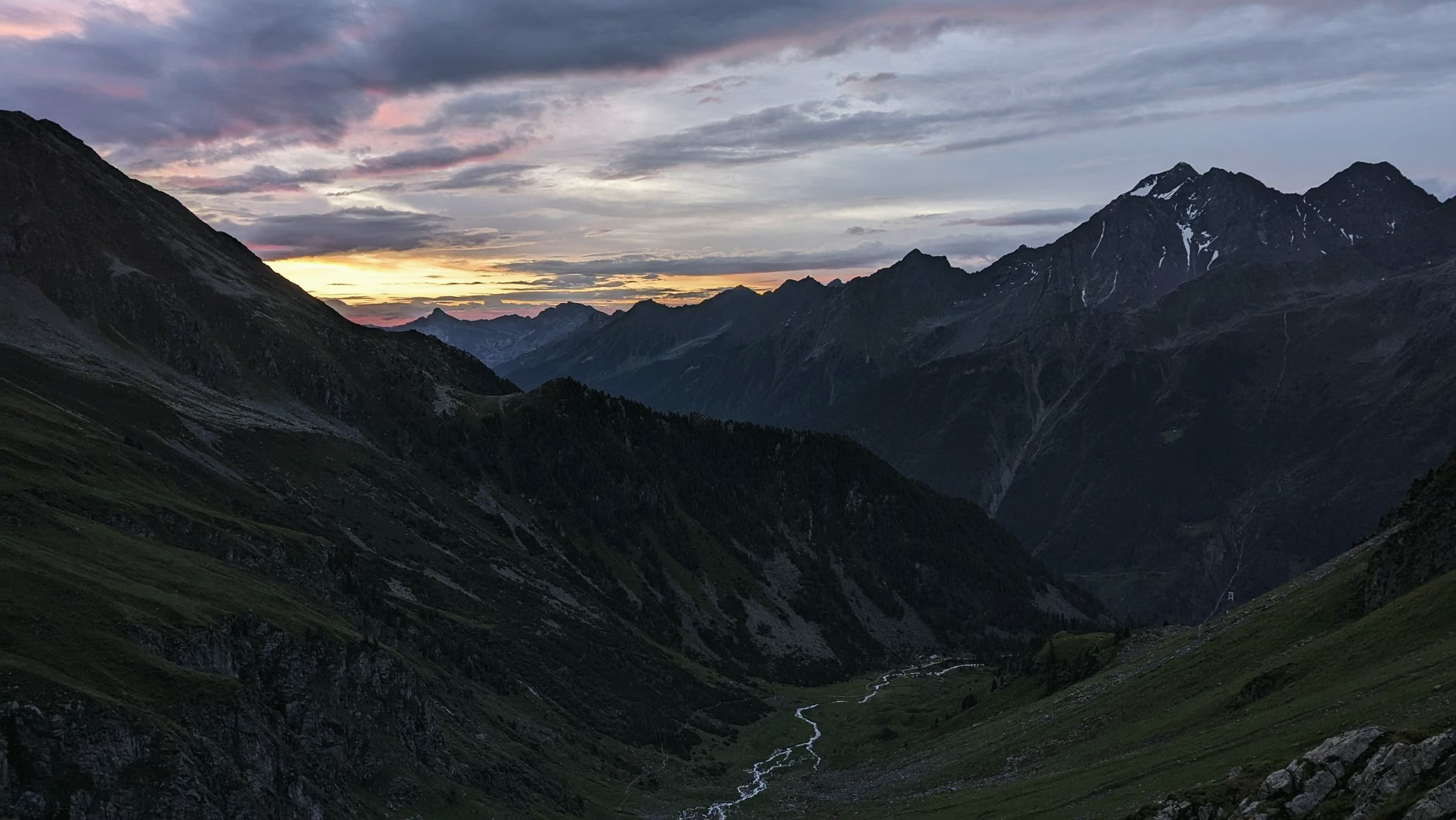
The Stubai Ridge Walk keeps to the high ground between two Tyrolean valleys and comes down only once, on the second night, to Gasthof Wildbach. The other nights are at Ochsenalm, Karhütte and Seehütte. Stegenau and Gries am Bach sit at almost the same height, 1,177 m and 1,134 m. Because the route climbs, drops and climbs again between them, the totals still reach 3,135 m up and 3,177 m down over 52.4 km.
One day sets the grade here. Day 3 leaves the valley inn, crosses the Hohe Scharte at 2,575 m and drops 677 m to Karhütte. Its 10.4 km carry 1,116 m of climbing over the day. No other day passes 1,000 m of ascent, which makes this a grade 3 walk.
Choose it if you like a different bed most nights and do not mind losing height and earning it back. A short fourth day, 5.8 km to Seehütte, comes before the long finish.


Day by day
Meeting point
We meet in the start village at 9am on the first day and finish around 3pm on the last. Fly into the region’s airport, then take the train and bus; the timetable comes with your route notes.
Every route has a bad-weather line. Your guide decides on the morning, and the price stays the same.
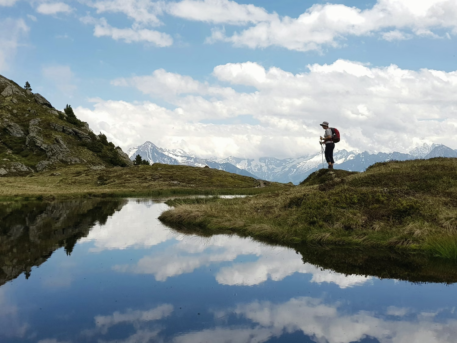
If the Hohe Scharte is in cloud or storms are coming, Lena keeps the group low on day 3. The group walks up to Karhütte by the hut’s access path from the valley, lower and without the rocky gap.
Day 01
Stegenau up to Ochsenalm

Ochsenalm gives the first view of the ridge this route follows. From its door you can pick out the shoulder at 2,475 m that you cross tomorrow. The alp stands 459 m above Stegenau, reached by a forest road and then a cattle path that never loses height. Its kitchen serves Kaspressknödel, cheese dumplings in broth, with the alp’s own butter on rye.
Day 02

Over the shoulder to the valley inn
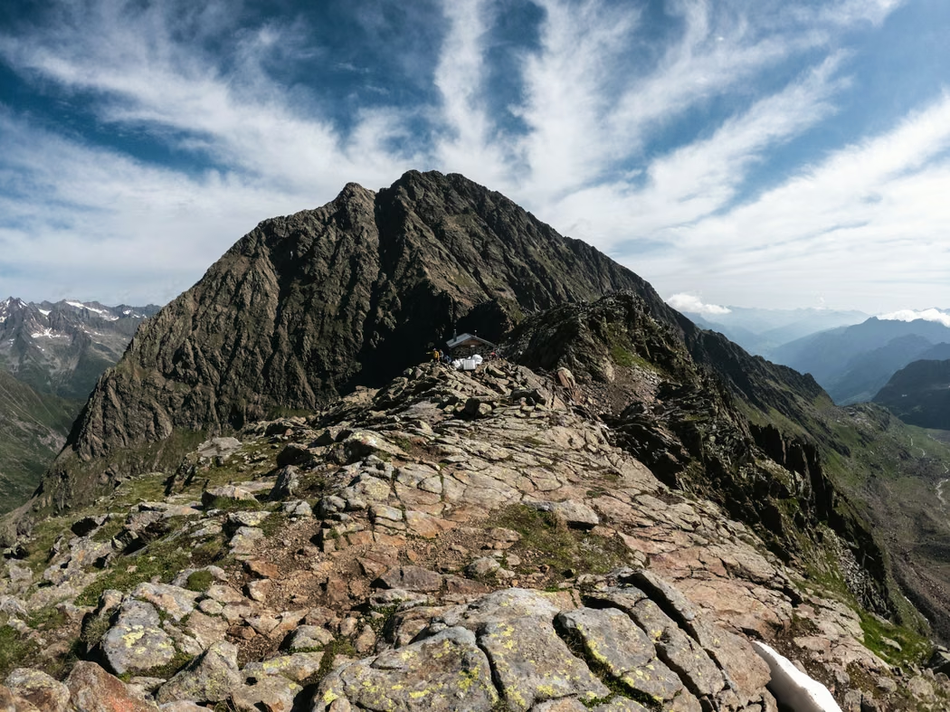
Tonight is the one night in the valley. Gasthof Wildbach is an inn with showers, a full menu and a private room if you want one, paid there. To reach it you climb 839 m to a shoulder at 2,475 m, then lose 1,015 m into the next valley.

Day 03
Over the Hohe Scharte
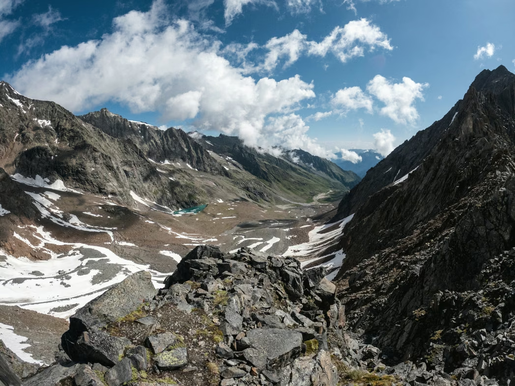
The week’s big climb runs from the valley floor to the Hohe Scharte at 2,575 m. The last part goes up rocky steps in a narrow gap, where loose stones fall easily, so watch your feet and the walker above you. Over the top, the path drops 677 m to Karhütte.
Day 04
A short day along the ridge

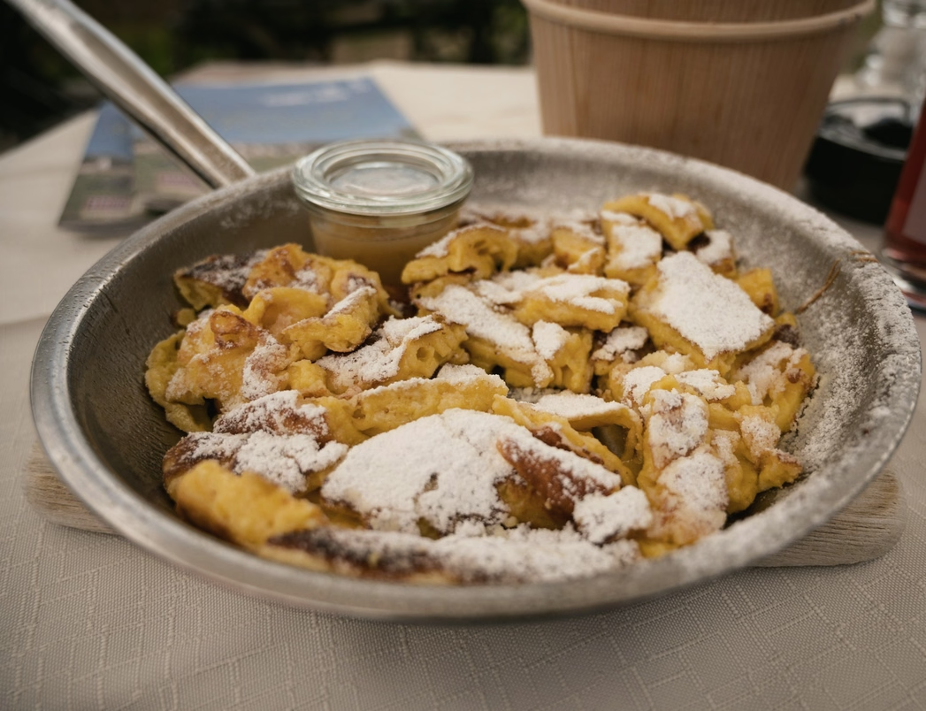
You reach Seehütte by lunchtime on the easiest day of the five. The ridge only rises and dips a little on the way, and the afternoon is for resting your feet. Soup comes first at dinner, then Kaiserschmarrn, torn pancake with plum compote. Rest well, because tomorrow covers 16.3 km.
Day 05
The long descent to Gries am Bach
The last day is also the longest, at 16.3 km. It still rises to 2,420 m before 1,286 m of descent to Gries am Bach. Most of that height goes in the final third, on a path through alder and then pine. Lena sets the speed of the descent by the slowest walker. You arrive in Gries am Bach around 3pm, and the transfer takes you back to Stegenau.

Departures 2027
Full dates keep a waiting list.
Places as of 1 October 2026
What is included
Guide, half board in huts, all bookings, route notes, return transfer.
- A guide for the whole route
- Every night in huts and guesthouses, with dinner and breakfast (half board)
- Booking of every night
- Printed route notes with the elevation profile
- Last-day transfer back to the start village
Not included
- Travel to the start village
- Lunches on the path and drinks
- A hut sleeping sheet, which you bring
- Insurance with mountain rescue cover, which is required
Your guide

Lena Gruber
International Mountain Leader
She ran the kitchen of a 60-bed hut for four summers, so she knows when dinner is served and why.
Groups of 4 to 10, with a second guide from seven walkers.
The five other routes, drawn to one scale
Each line runs as far as its route and as high as its ground, on one scale for all six.