What the profile shows
Every route on our site has an elevation profile, and the same drawing is printed in your route notes. Distance runs from left to right in kilometres. Height runs up the side in metres. The day table on every route page gives the same numbers as the drawing, day by day.
Read the slope first
The height of the line says little on its own. Ask how far it rises, and over how many kilometres. On the Ötztal Hut Taster, day 2 climbs 986 m in 4.4 km to Fernerblick Hut at 2,597 m. It is the shortest day of the route and the steepest line on its drawing. Compare day 1, 10.0 km to Gasthof Ronach with only 230 m of ascent all told, where the line barely lifts.
The days that go down
Most people study the climbs and skip the descents. Going down steep, rocky ground is slower than walkers expect, and it is your knees and the front of your thighs that do the work.
The last day of the Julian Alps Traverse is the clearest case I know, and I lead that route. You climb 1,069 m to Škrbina, the highest point of the route at 2,678 m. Then you descend 1,807 m to Kot, 871 m, where the route ends. At 18.3 km, it is also the longest day of the seven.
- Day 06 · 4.9 km · 787 m up · 0 m down · Koča pod Skalo, 1,609 m
- Day 07 · 18.3 km · 1,069 m up · 1,807 m down · Finish in Kot, 871 m
The day before it is short: 4.9 km with 787 m up and no descent at all. You start the long day high and rested. On the profile the two days sit side by side: a short, steep rise, then the biggest descent of the route.
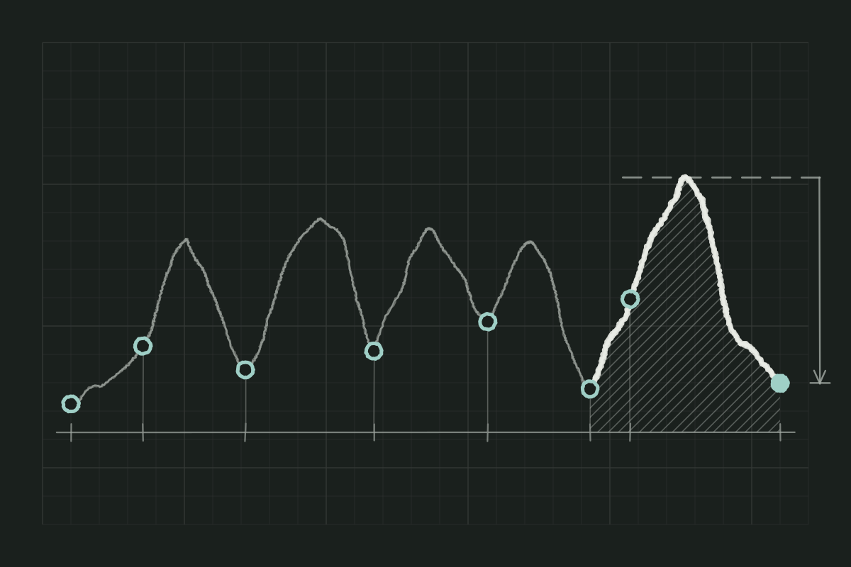
The same pattern turns up in the Dolomites. Day 4 of the High Dolomites Hut Route is 13.4 km with 326 m up and 1,228 m down to Malga Lavarel at 1,805 m. Plan for it as a hard day, because those 1,228 m of descent take longer than the climb.
Three big climbs in a row on the Traverse
On the Julian Alps Traverse the totals are 86.6 km, 6,397 m of ascent and 6,216 m of descent. They tell you nothing about how that work is spread across seven days. Look for runs of hard days. Days 2, 3 and 4 climb 933 m, 1,322 m and 1,072 m back to back. That run is why the route is grade 4.
Three questions before you book
- Where is the biggest climb, and how many kilometres does it take?
- Is the longest descent on the last day, when you also have a train to catch?
- Are the hard days back to back, or is there a short day between them?
If one of them worries you, note the day number and ask about it in your enquiry. The grade on each route page comes from the day table behind the profile.